INFOSCI 302 — Urban Informatics and Sustainable Design
Spring 2026 · Dr. Charles Chang
Welcome to INFOSCI 302
Urban Informatics and Sustainable Design is at the intersection of spatial data science, technology, and the physical design of human habitats. In this class, we harness ArcGIS Pro, ArcGIS Online, and advanced tools like NotebookLM to model, analyze, and build the future of resilient and sustainable cities.
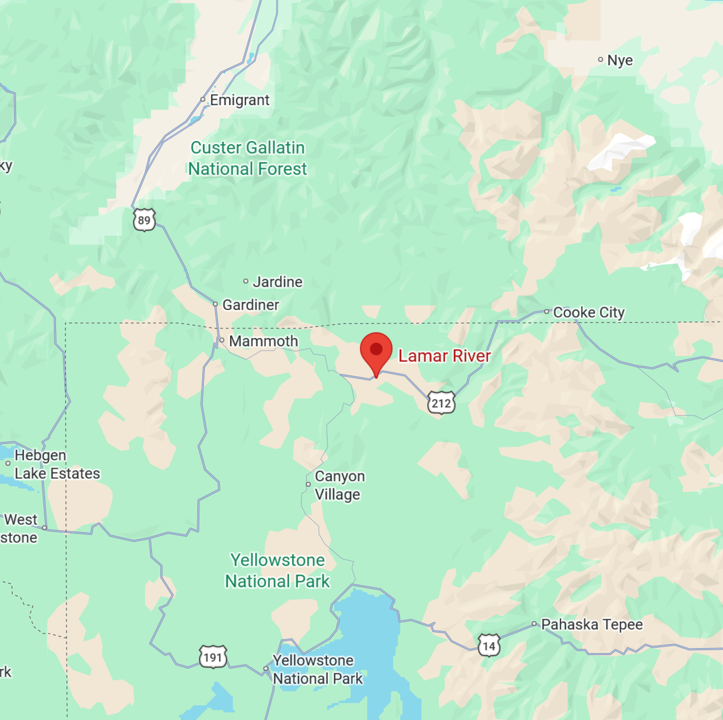 Figure: Study area site georeferencing and location mapping.
 Course Description & Grading
Geographic Information Systems (GIS) are computer-based systems used to collect, store, manage and analyze geographic information. Through lectures, lab exercises and projects, you will gain an understanding of GIS and how it can be used to solve complex geospatial problems.
How will my grade be determined?
10 points each. Includes review questions and group GIS applications presentations.
120 points each. Incorporates theoretical questions and problem-solving techniques.
20 points each. Hands-on geospatial assignments and maps creation in QGIS & ArcGIS Pro.
200 points total. Comprehensive implementation of spatial analysis and modeling.
Core Course Standards
- Academic Integrity: Collaborative work on weekly discussions is allowed; collaboration on lab reports, quizzes, and exams is strictly forbidden.
- Late Submissions: Discussions and lab reports submitted late are subject to a 15% per-day penalty. Quizzes and exams are not accepted late.
Weekly Course Modules
Access lecture presentations, readings, and downloadable datasets for each week's labs.
NotebookLM Multimedia & AI Podcasts
Listen to high-fidelity AI-generated dialogues and lectures covering the core concepts of urban informatics.
INFOSCI 302 Final Project Hub
Synthesis of spatial analysis methodologies, modeling, and cartographic design.
Guidelines & Syllabus
Get the official rules, constraints, and grading rubrics for your final research report.
Featured Research & Project Models
Examples of successful urban informatics research frameworks modeling advanced spatial workflows in ArcGIS Pro:
Sustainability Indicators for City Center Analysis
This research evaluates urban environmental metrics and spatial distributions of sustainability indicators across metropolitan cores. Utilizing multi-spectral land cover classification and network travel-time buffers, the project models the integration of green corridors and carbon sink areas to propose target designs for sustainable spatial development.
Neighborhood Microclimate & Heat Vulnerability Assessment
Focusing on the spatial correlation between socio-economic patterns and urban heat island effects, this study maps temperature variance, canopy cover, and demographic vulnerability layers. It applies topological validation and spatial regression models to identify critical heat stress zones and recommend targeted ecological interventions in vulnerable communities.
Urban Walkability and Green Infrastructure Accessibility
A comprehensive network routing and connectivity evaluation of pedestrian pathways and green spaces. By constructing walkability indexes and service area service indicators, the project simulates pedestrian accessibility and optimizes the strategic allocation of future micro-parks and public green assets.